High fire danger warning for SA heading into winter
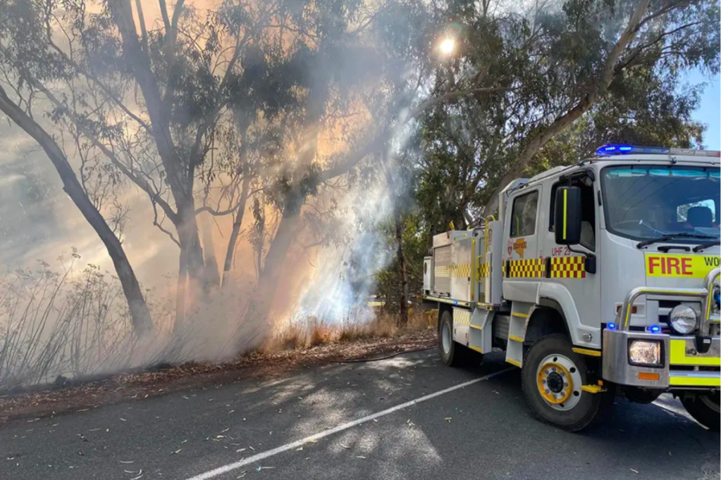
The Country Fire Service has issued a high fire danger rating across parts of the state today – just three days before the start of winter.

The CFS urged community vigilance today after more than 20 fires resulting from burn-offs were reported in the last two days.
There were 11 fires on Monday and nine as of yesterday afternoon.
Five aircraft have been placed on standby to provide support to firefighters should fires escalate today, with strong winds, warmer temperatures, and dry fuel loads all increasing the risk.
CFS state duty officer Ben Pettman asked for anyone considering burnoffs to wait “until after the cool, wet change comes through”.
You might like
The Bureau of Meteorology has forecast up to 10mm of rain in Adelaide tomorrow, with light showers expected to continue until Saturday.
South Australia has experienced an unusually dry May, with just 0.6mm falling over the weekend, making up Adelaide’s total May 2024 rainfall to date.
The average Adelaide rainfall for May reaches 67.9mm, with the previous lowest May rainfall recorded as 2.6mm in 1934.
“We know bushfires can start as late as May so, while CFS aircraft and volunteer firefighters will be ready to respond if a fire starts, it’s important the community play their part to reduce the risk of rural fires,” Pettman said.
The CFS encouraged anyone who has recently held a burnoff to make sure it is fully extinguished as temperatures increase throughout the day, with strong northerly winds expected.


